
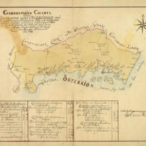
Museum-quality posters made on thick and durable matte paper. Shipped in a reinforced package.
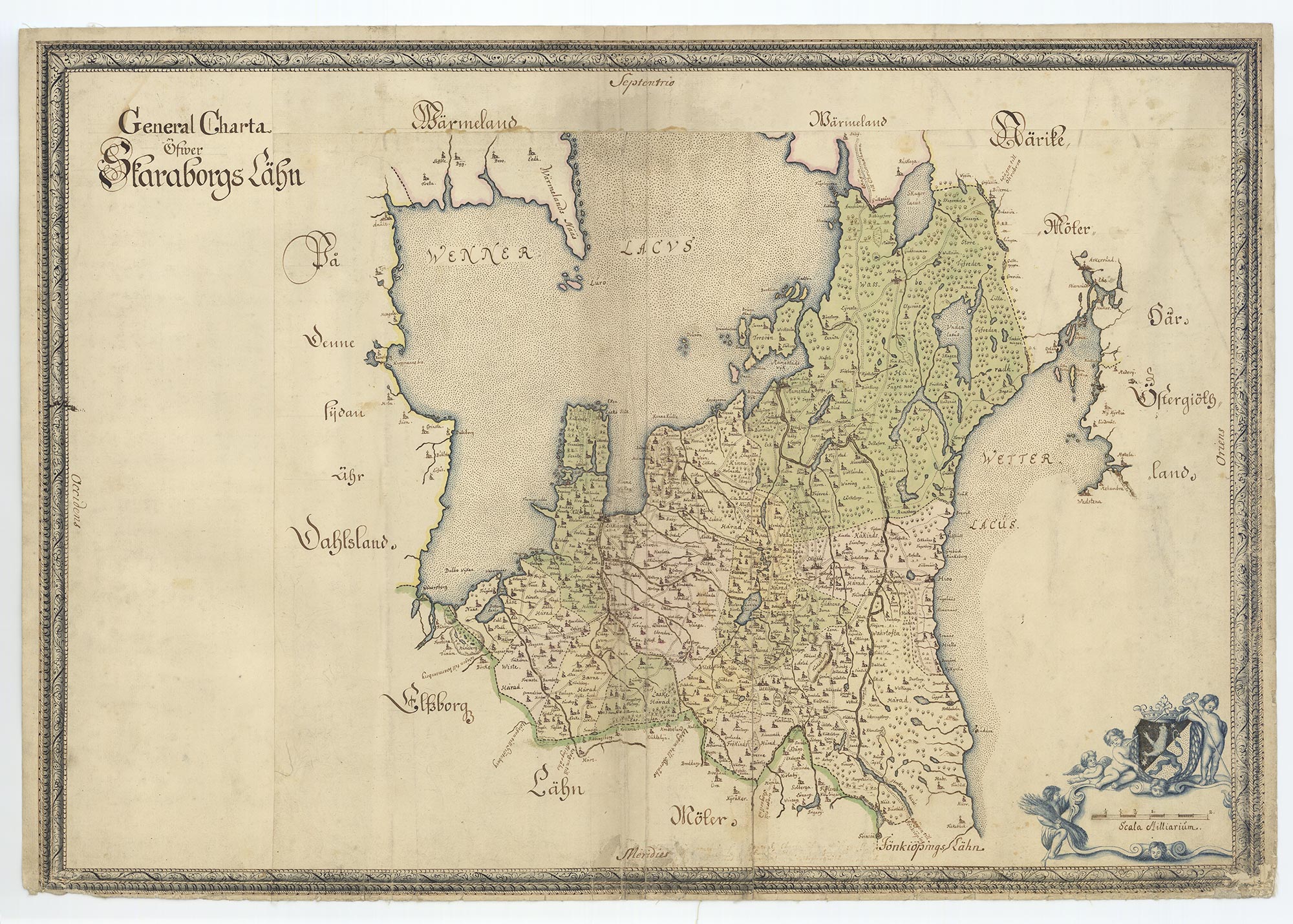
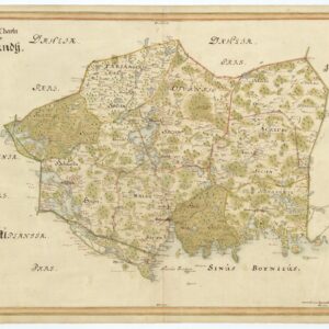
Historical map of Skaraborg late 17th century
Historical map of Skaraborg late 17th century
$23.00
Newly printed historical map showing Swedish county Skaraborg in the province Vastergotland late 17th century.
Skaraborg County (Swedish: Skaraborgs län) was a county of Sweden from 1634 until 1997. It was disestablished at the end of 1997 when it was merged with the counties of Gothenburg and Bohus and Älvsborg to form Västra Götaland County.
The county was named after a fortress outside the city of Skara. The seat of residence for the county governor was Mariestad from 1660 onwards and the largest city (during the 20th century) was first Lidköping and later Skövde. The county consisted of the northeastern part of the province of Västergötland.
Additional information
| Weight | 0.05 oz |
|---|---|
| Size | 30×40 cm / 12×16″, 45×60 cm / 18×24″, 50×70 cm / 20×28″ |
Size Chart
Skaraborg County (Swedish: Skaraborgs län) was a county of Sweden from 1634 until 1997. It was disestablished at the end of 1997 when it was merged with the counties of Gothenburg and Bohus and Älvsborg to form Västra Götaland County. The county was named after a fortress outside the city of Skara. The seat of residence for the county governor was Mariestad from 1660 onwards and the largest city (during the 20th century) was first Lidköping and later Skövde. The county consisted of the northeastern part of the province of Västergötland.Related products
-
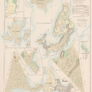 Price range: $25.00 through $29.00 Select options This product has multiple variants. The options may be chosen on the product page
 -
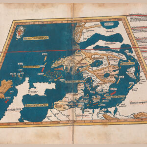 Price range: $28.00 through $34.00 Select options This product has multiple variants. The options may be chosen on the product page
 -
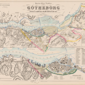 Price range: $25.00 through $29.00 Select options This product has multiple variants. The options may be chosen on the product page
 -
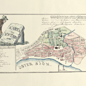 Price range: $23.00 through $32.00 Select options This product has multiple variants. The options may be chosen on the product page