
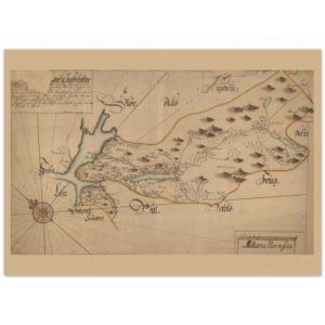
Norway
Showing all 6 resultsSorted by latest
-
 Price range: $35.00 through $39.00 Select options This product has multiple variants. The options may be chosen on the product page
 -
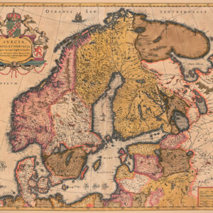
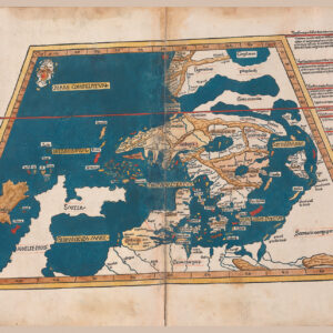
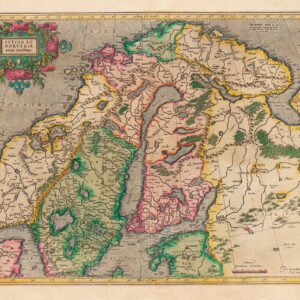
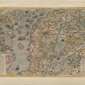
Denmark, Finland, Norway, Sweden
Price range: $26.00 through $29.00 Select options This product has multiple variants. The options may be chosen on the product page -
 Price range: $28.00 through $32.00 Select options This product has multiple variants. The options may be chosen on the product page
 -
 Price range: $28.00 through $34.00 Select options This product has multiple variants. The options may be chosen on the product page
 -
 Price range: $15.00 through $29.00 Select options This product has multiple variants. The options may be chosen on the product page
 -
 Price range: $27.00 through $32.00 Select options This product has multiple variants. The options may be chosen on the product page
Showing all 6 resultsSorted by latest