Museum-quality posters made on thick and durable matte paper. Shipped in a reinforced package.
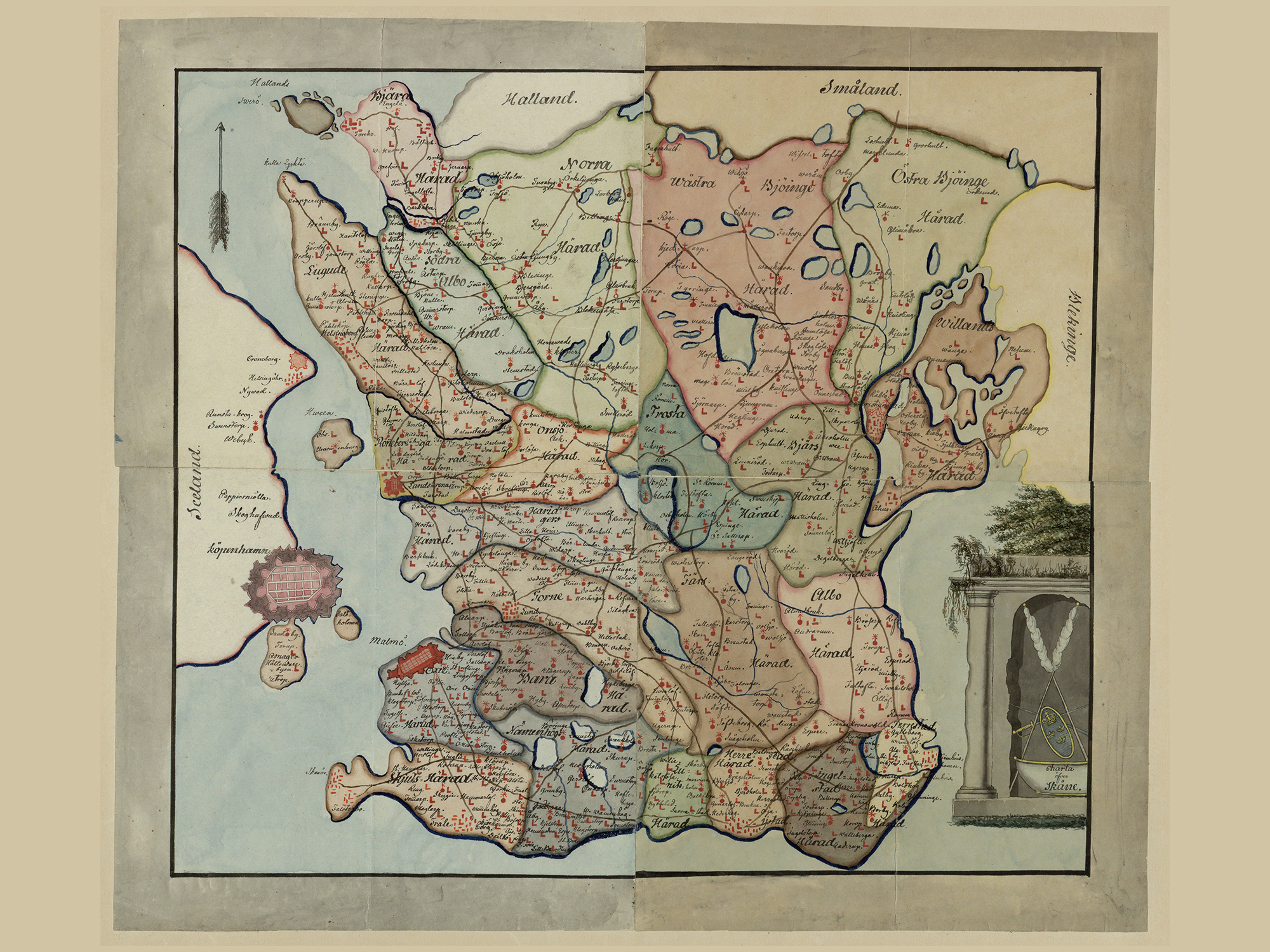
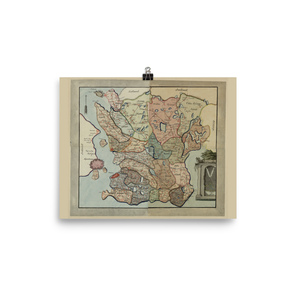
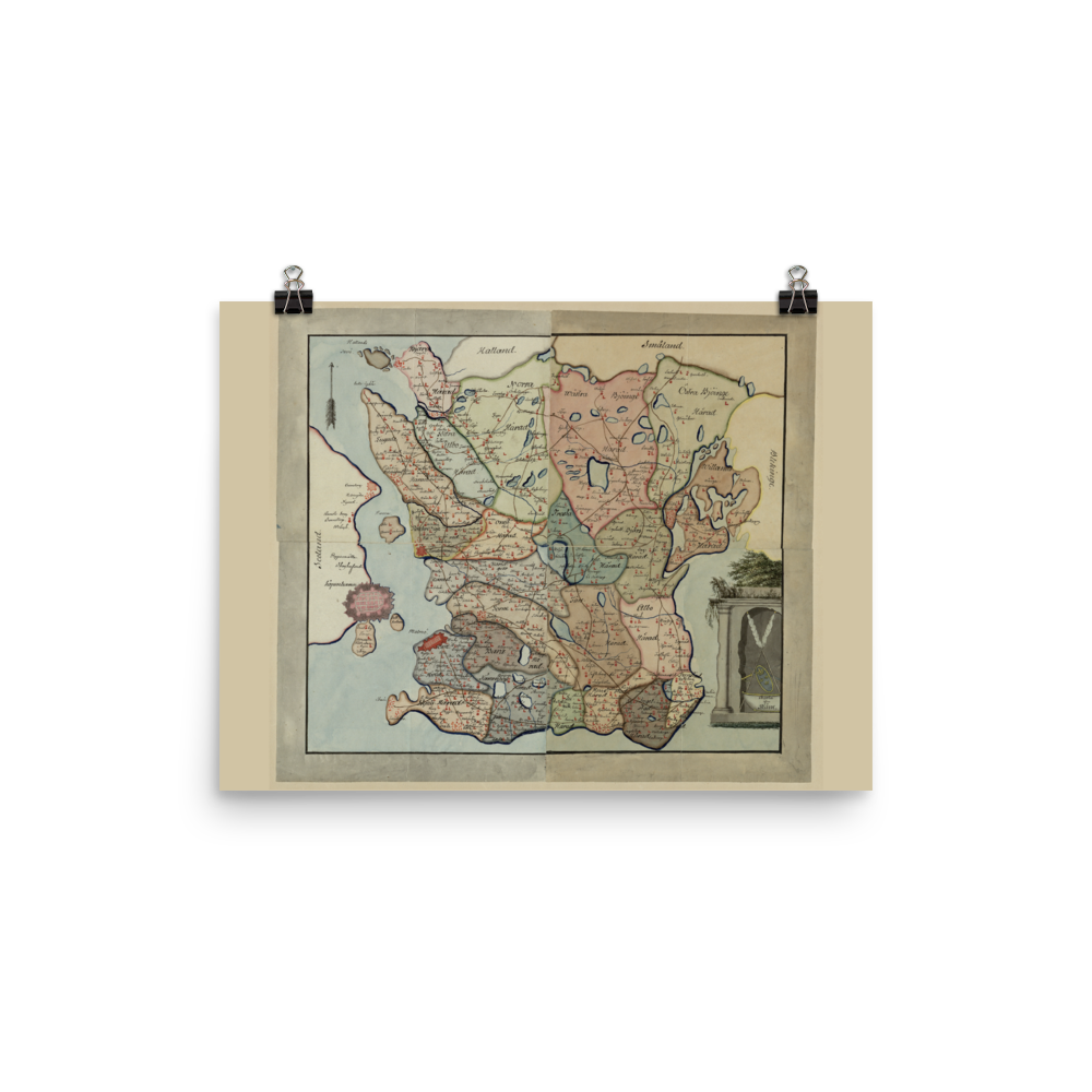
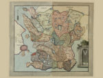
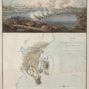
Historical map of Swedish province Scania 1700s
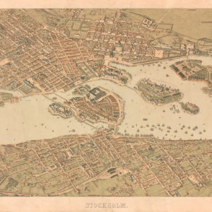
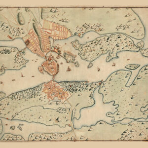
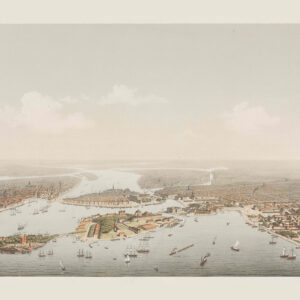 Stockholm bird´s eye from Saltsjön 1872-73
$29.00 – $33.00Price range: $29.00 through $33.00
Stockholm bird´s eye from Saltsjön 1872-73
$29.00 – $33.00Price range: $29.00 through $33.00
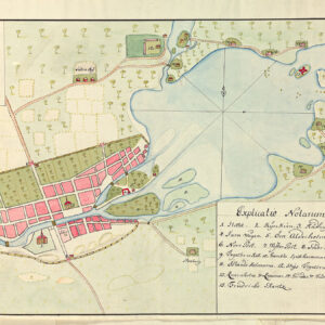
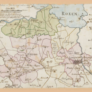 Linkoping 1800s
$19.00 – $25.00Price range: $19.00 through $25.00
Linkoping 1800s
$19.00 – $25.00Price range: $19.00 through $25.00
Historical map of Swedish province Scania 1700s
Price range: $21.00 through $27.00
Poster showing Swedish province Scania (Skåne) 1700s.
Scania, also known by its native name of Skåne (Swedish) is the southernmost of the historical provinces (landskap) of Sweden. Located in the south tip of the geographical region of Götaland, the province is roughly conterminous with Skåne County, created in 1997. Like the other former provinces of Sweden, Scania still features in colloquial speech and in cultural references, and can therefore not be regarded as an archaic concept. Within Scania there are 33 municipalities that are autonomous within the Skåne Regional Council. Scania’s largest city, Malmö, is the third-largest city in Sweden, as well as the fifth-largest in Scandinavia.
To the north, Scania borders the former provinces of Halland and Småland, to the northeast Blekinge, to the east and south the Baltic Sea, and to the west Öresund. Since 2000, a road and railway bridge, the Öresund Bridge bridges the Sound and connects Scania with Denmark. Scania forms part of the transnational Øresund Region.
Related products
-
 $32.00 Select options This product has multiple variants. The options may be chosen on the product page
 -
 Price range: $25.00 through $29.00 Select options This product has multiple variants. The options may be chosen on the product page
 -
 Price range: $26.00 through $30.00 Select options This product has multiple variants. The options may be chosen on the product page
 -
 Price range: $15.00 through $29.00 Select options This product has multiple variants. The options may be chosen on the product page